Surprisingly we heard very little laughing in Happy Camp. Our campsite was across the river from the main part of town. Like the U.S. Forest Camp at Eel River we accidentally found this one too. It’s called Curly Jack Campground and it’s on the right before you get into town.
Our campsite was just off the flowing river. I woke up early (like always) and got to see a few foxes playing on the edge of our river (Klamath River). I didn’t have my phone so no pictures but it was the highlight of the morning. Besides, I had to pee.
Coffee, oatmeal, and the usual morning stuff, we packed up and we were on the road again. A quick left and we were on Grayback Rd. heading north towards O’Brien, Oregon. We found this road that went northwest at a 45 degree angle straight towards Cave Junction and Hwy 199.
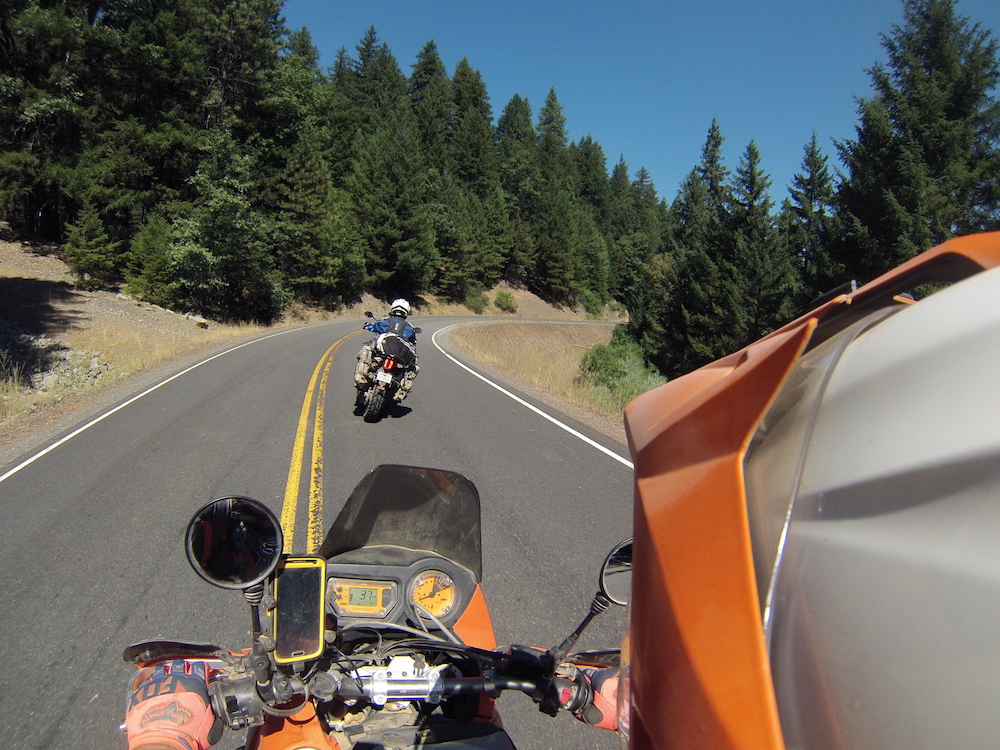
The day was great, the road was clean and windy and very little traffic (almost no traffic at all). It was a cool but gorgeous day to ride up and over a mountain.
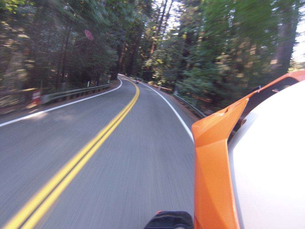
I had my GoPro set to take pictures (instead of video) so I caught a lot of similar pictures like this.
We got to O’Brien, found a gas station and filled up. The Attendant asked where we were headed. He said we in for some cooler weather. It was currently warm where we were and since it was still early morning it was just going to get warmer, right? So, we kind of dismissed it and off we road.
I was wearing a Klim jersey with a ton of holes for ventilation. While I was a little on the cool side, I was fine. We had ridden virtually the whole way just like that anyway.
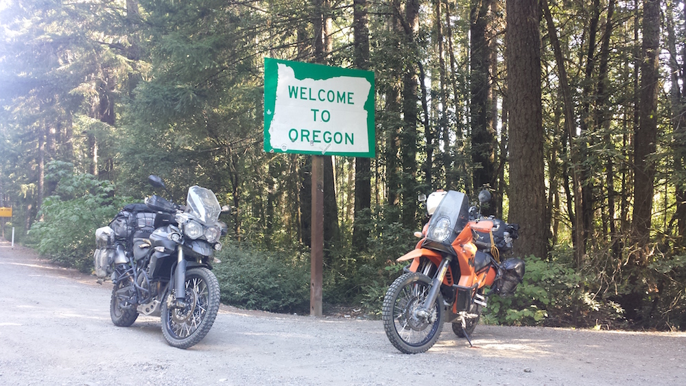
A few miles out of town we knew we were getting close to the California Border. We spotted the sign (on the Northbound side), turned around and then took a picture. The way we came into Oregon really didn’t have a cool looking sign so for the sake of Hollywood we had to fake it.
We followed Hwy 199 south as it wound down towards Crescent City and the coast. That’s where the weather changed. That gas attendant back in Oregon? Man did he get it right. Suddenly we were in cold dense fog, wiping our visors and freezing! It was just like a summer in San Francisco!
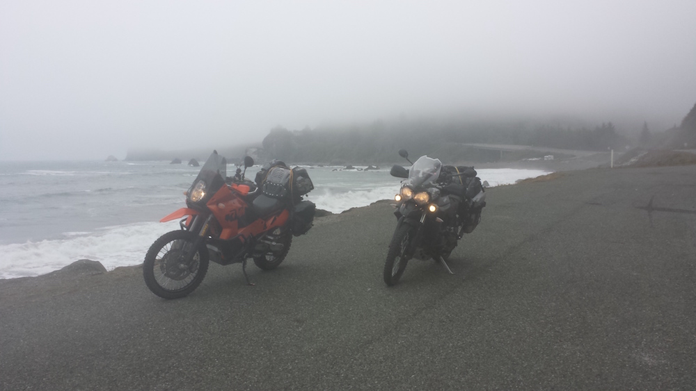
We stopped and put on every single piece of clothing we had. I was now wearing the Klim Jersey, a sweatshirt and then my adventure jacket (plus a neck gaiter). We traveled along the coast for a while and it did get a little warmer as the day went on, but not by much.
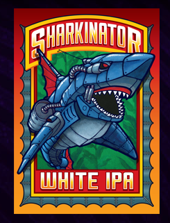 We stopped for lunch in Eureka at The Lost Coast Brewery and warmed up a little. I didn’t realize it until we were there but they make a beer I specifically search out every year when my Hockey Team is in the playoffs.
They are in a very old building in an older section of town. We found a great place to park outside in the back.
Back on the bikes we continued down Hwy 101 we barely got back into the groove when we turned on to 211 towards Ferndale.
Ferndale is a quaint, picturesque. You can tell the town embraces it’s look and feel. The high sidewalks, the original store fronts along the main street all have a welcoming feel. It’s also the gateway to the Lost Coast.
Towards the end of town, Ernie stopped in front a liqueur store and headed in to buy the nights bottle of red wine. We borrowed a bottle opener from the shop keeper and I quickly transferred the juice from the glass bottle to our spun aluminum.
While I was doing that a nice guy (local) asked us where we were heading. I pulled out a map and he showed us that just a few corners away was Mattole Rd. and we should take that towards Petrolia. There’s really no other places to go.
The sign? That wasn’t hard to spot.
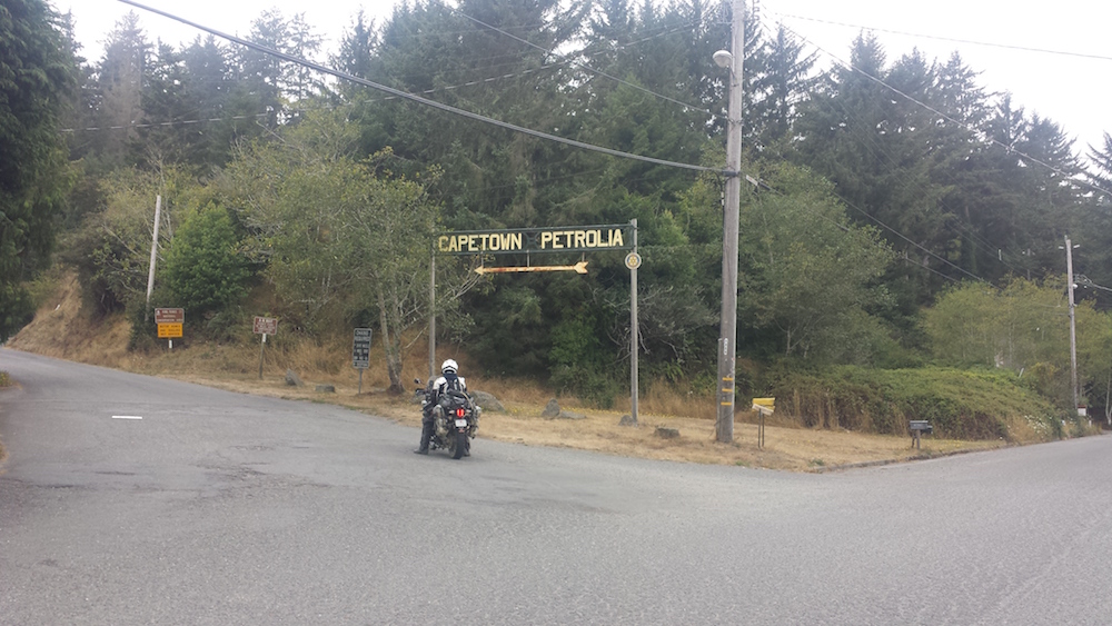
It starts as Wildcat Ave and quickly turns to Mattole Rd. It also goes up and up and up! The only other streets were actually driveways to where people built homes up on the ridge.
The Lost Coast
What is the Lost Coast? It’s the westernmost part of California. It’s a section of the state where the main highways go around and not through. Matter of fact there is only Mattole Rd that runs N/S through it with a few smaller roads heading here or there. Essentially, the Lost Coast is cut off from ‘civilization’ and I think that’s just the way they want it.
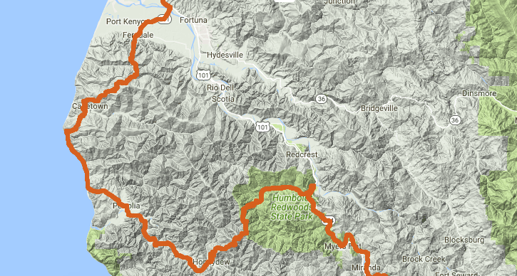
We traveled along ridge tops then down into valleys and back up to the ridge tops again and again. The valleys would usually contain a ranch or so. The road itself went from paved to gravel here and there. Don’t think of it as being well maintained at all. Every now and then wed come to a small group of buildings like in Capetown, Petrolia and Honeydew. None of them could be confused as a town. There was one restaurant we saw in the Lost Coast. The Yellow Rose in Petrolia. It was recommended by the guy I talked to in Ferndale. We weren’t hungry and I’m not even sure if it was open, so we continued on.
Avenue of the Giants
The other thing we wanted to check out was the Avenue of the Giants. At the southern tip of the Lost Coast we hit Honeydew. That turned us up north east for a bit towards the Humboldt Redwoods State Park and the Avenue of the Giants.
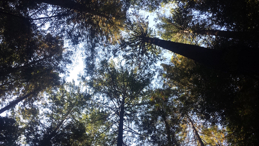
You are simply riding along a great country road and it’s suddenly swallowed by 300 ft Redwoods. The change is awe inspiring. The narrow road snakes in between these giants for miles. There’s even three different trees that you can drive thru and take a picture if you like (we skipped the tourist stuff). Suddenly you realize you’ve only been doing 10 mph. It’s that kind of place.
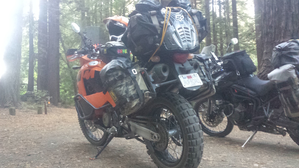
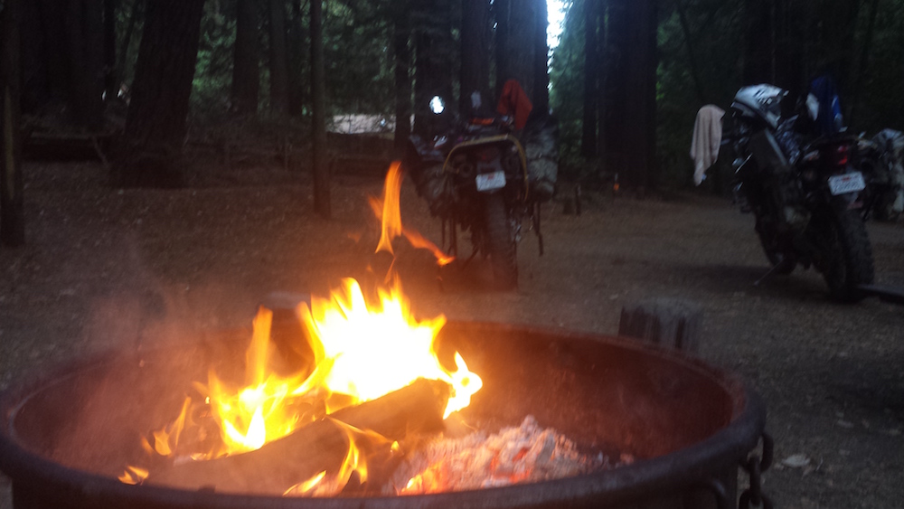
We spotted a state campground in amongst the trees. Unlike every other campground we saw this trip, this one wasn’t empty. I was guessing it was full. We stopped at the ranger station and asked. Surprisingly the Ranger said he had a few openings. We jumped at the chance. Plus there was firewood! Plus plus there was showers! Win Win!
- The Bay Area Adventure Rally - April 16, 2024
- What to Pack on a BDR Trip - March 4, 2024
- I’m selling my 2006 KTM 950 Adventure! - February 16, 2024